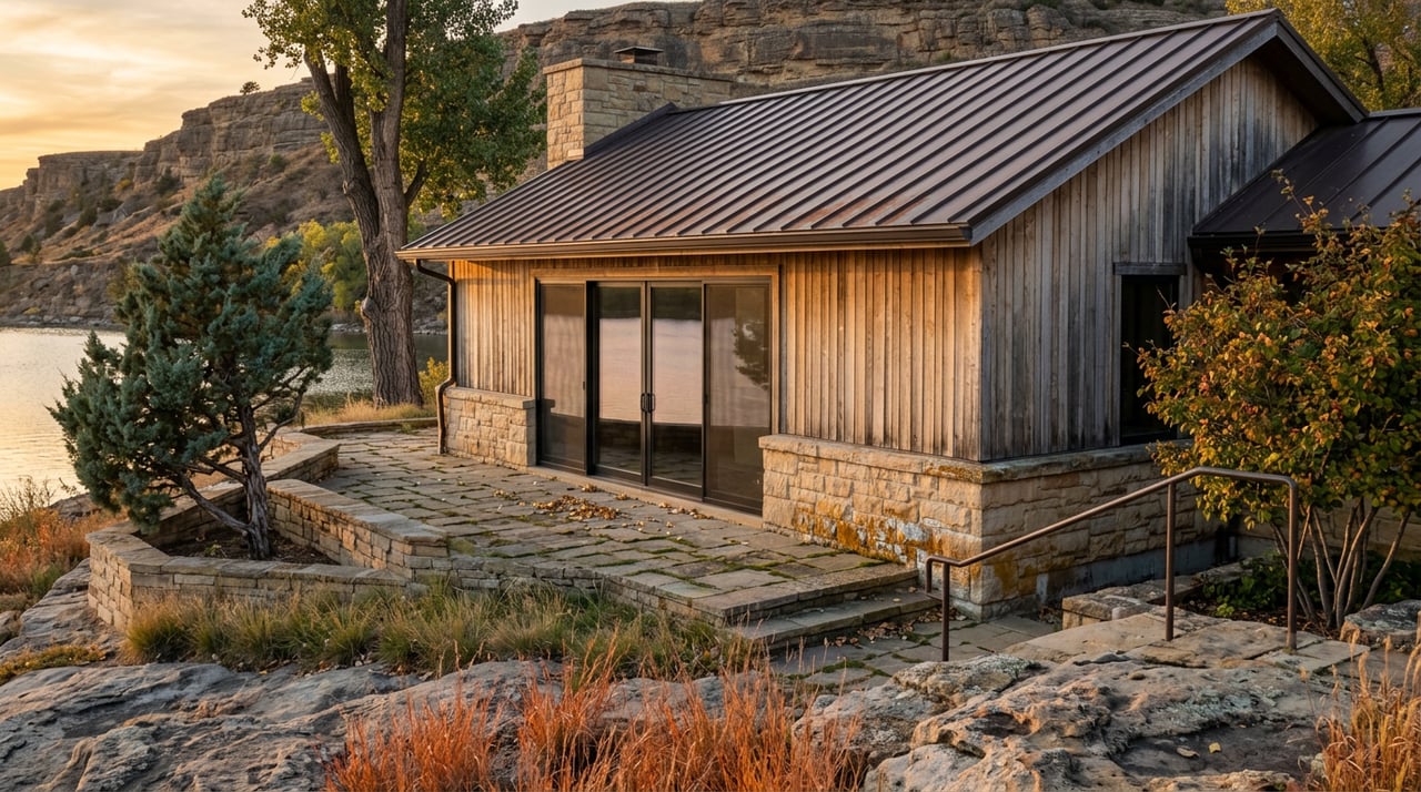
As the North Dakota Monitor reported, Dawn Ritts has run docks at Van Hook Resort near New Town for fifteen years, and she says she has never seen the water this low. Not close. This summer, moving those docks became close to a daily chore, chasing a shoreline that keeps retreating. Clear on the other side of the lake, at Lewis and Clark State Park near Williston, the swimming area sat exposed on dry land in early July. No boat ramp there works right now. No marina slip either.
That is the story most people already know: Sakakawea is down, and access is down with it. What most people miss is that the drop did not hit the lake evenly. It sorted the lake's access points into two groups, ones that are straining under more traffic than ever and ones that are simply closed, and knowing which pile a given ramp landed in matters more this fall than knowing the lake's overall level.
The Number Behind the Headlines
On the first Sunday in August, Lake Sakakawea stood at 1,827.3 feet of elevation, about 12 feet below average, according to David Beck of the U.S. Army Corps of Engineers, which operates Garrison Dam and manages the reservoir. A lack of snowfall in the Rocky Mountains cut runoff into the Missouri River basin last spring, and drought held on through the summer across North Dakota and Montana.
Twelve feet sounds bad until you set it against the number that actually defines a crisis on this lake: 1,807.1 feet, the all-time low recorded in 2007. Beck told reporters the lake is not likely to approach that mark in the next year or two. So this is not 2007. It is something narrower and, for locals, more practical: a lake that is low enough to close specific ramps but nowhere near low enough to close the lake.
That distinction is why Bob Frohlich, fisheries development supervisor with North Dakota Game and Fish, is not talking about the lake shutting down. He is talking about resurrecting old infrastructure. The department is preparing to bring back low-water ramps that were built in the years leading up to the 2007 record and have sat submerged for nearly two decades. Frohlich said the permitting process through the Corps has never once resulted in a denied application, but it still takes time, and that is the real bottleneck heading into next season.
Two Access Points, Two Different Falls
Van Hook Resort usually runs three ramps for boaters, two double-lane and one single-lane. This summer it lost one of the double-lane ramps to low water. Frohlich called it probably the most heavily used access point on the entire lake, which is exactly why its partial loss matters more than a ramp closure at a quieter site would. Ritts says the result is more boat traffic funneling through fewer lanes, and more work keeping what remains usable, without necessarily translating into more business for the resort's bait shop and store. People show up, launch, and leave.
Lewis and Clark State Park had a rougher year. No ramps or marina are open there at all right now. Boaters headed to that stretch of the lake are being pointed about 10 miles down the shoreline to Lund's Landing instead. Park manager Katie Ogden-Miley, who has worked there since 2014, takes the long view: the park has been through drawdowns before and came back each time. But "came back" is a multi-year statement, not a this-October one.
Here is what that split looks like across a few of the lake's better-known access points right now:
| Access Point | Normal Setup | Current Status |
|---|---|---|
| Van Hook Resort (near New Town) | Two double-lane ramps, one single-lane ramp | Lost one double-lane ramp; remaining ramps seeing heavier traffic |
| Lewis and Clark State Park (near Williston) | Marina and swim beach on the lake | No ramps or marina usable; nearest open ramp is Lund's Landing, about 10 miles away |
| Lake Sakakawea State Park (Pick City) | 74-slip marina behind a concrete breakwater, two boat ramps | Marina and ramps have remained functional this season |
| Fort Stevenson State Park (Garrison) | Garrison Bay's 61 electric slips plus de Trobriand Bay's 44 slips and buoy moorings | Garrison Bay's deep-water design gives it far more room before low water becomes a problem than a shallower facility would have |
That last column is the point. A lake this size, roughly 180 miles of reservoir with more shoreline than the California Pacific coast, does not fail as a single system. It fails ramp by ramp, based on each site's floor elevation relative to the water's current line. Garrison Bay sits on a floor built for deep water, which is exactly why a drawdown that closes a shallower facility somewhere else on the lake does not automatically touch a marina like this one. If you fish or boat regularly, the useful question this fall is not "is the lake low," it's "how deep was my ramp built to begin with," and that answer is different at every access point.
Why the Fishing Got Better Before It Gets Harder
The strange part of a low-water year is that it can be good for fishing in the short term, and Sakakawea is proving that out right now. Ritts put it plainly: when the water drops, fish get pushed into a smaller area, which concentrates them and makes them easier to find. She also flagged the tradeoff nobody wants to think about in September: if the water level does come back up next year, it takes time for the fish population to adjust and recover. The good fishing right now is partly a symptom of the same stress that is closing ramps.
That concentration shows up in the guide reports coming off the lake these past several weeks. A late-August Dakota Edge report described walleye pushing into deeper water than usual for that time of year, with anglers finding consistent action at 30 feet or more, and guides advising that fish caught from that depth should be kept rather than released, since barotrauma from the pressure change makes delayed mortality likely anyway. A second Dakota Edge report described strong action on the lake's eastern end on 16 to 18 inch walleye, taken on slow death rigs, prop rigs, and lindy rigs tipped with crawlers, with guides expecting the switch to minnows as the water keeps cooling into October.
The eastern portion also hosted the National Walleye Trail Championship this season, and the numbers from that event say something about where competitive fishing has gone on this lake: 99 percent of the field was running forward-facing sonar. For everyday anglers without that gear, the takeaway is not discouragement. Traditional methods still produce plenty of fish on the same water, even where the tournament was held. The pros chasing tournament-winning fish are targeting the biggest, most pressured individuals in the lake. Most weekend anglers are not competing for that fish.
What This Means If You're Planning a Weekend on the Water
A few practical notes worth carrying into October, based on how this fall is actually shaping up:
- Check ramp status before you load the boat, not after. The Army Corps of Engineers maintains a map of open and closed ramps, and given how unevenly this drawdown has hit different sites, that map is more useful right now than any general lake report.
- Expect longer waits at whichever ramps remain open near you. Closures elsewhere are concentrating traffic, especially around high-use points like Van Hook.
- If you catch walleye deeper than 25 feet, plan to keep it. Barotrauma at that depth makes release largely symbolic.
- Ask locally about elevation floors before assuming a marina or ramp will hold up through fall. A deep-water facility like Fort Stevenson's Garrison Bay has more room to absorb further drops than a shallower-floored site does.
None of this changes what Sakakawea is at its core, a working reservoir that has weathered droughts before and adjusted access as needed rather than shutting down. What changed this year is the margin for error at any single ramp, and that margin is worth knowing before you drive out with a boat in tow.
If you're weighing what a property near this shoreline is actually worth, water level and access patterns like these are part of the real picture, not a footnote. West & Company works this lake and this region year-round, and can walk you through what a specific stretch of shoreline means for access, resale, and daily use. Build Your Legacy with a team that already knows which ramp still works.